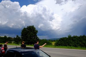
On Tuesday, we had the chance to witness the development of a few thunderstorms next to Vienna Neustadt. During the nowcasting session it became obvious that numerous strong to severe thunderstorms would evolve over the mountains. They slowly moved off to the east/southeast and therefore passed just to the south of Vienna Neustadt. What could be better than verifying our forecast in real nature? Hence we took our cars and drove a few miles to the southwest of Vienna-Neustadt.
There was a lot of discussions which storm to take and if the large hail risk, which was forecast by the Day 1 group, would verify (important for those who took their own cars for chasing ). We finally intercepted a severe storm which produced large hail with more than 3 cm in diameter to our west (ESWD report), before weakening. Still a strong downpour of rain occurred. Also, a small funnel cloud was observed in the outflow of that thunderstorm (along the base of the upper most cumulus cloud).
In the end everyone was glad to see that forecast multicell convection verified.
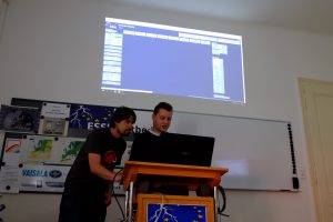
Today on Wednesday, once again Day 1 and 2 outlooks were prepared by different groups. It already became obvious that the participants learned a lot as there were vivid discussions about the ingredients and where to place the lightning and level areas. Especially the group with the Day 1 forecast had a very complex pattern with various places to look at. However the Day 2 group also spent a lot of time in preparing the outlook for Spain (questions like the following one had to be answered: will the cap break, which model has the best handling on shear and instability and so on). In the end, both groups issued numerous level 1 areas and we’re already looking forward how they verify. In the following image, Mr. Herold presented the Day 1 forecast.
We’re now starting the nowcasting session and we prepare the Day 3 to 5 outlooks. Let’s see what happens in that time frame …


