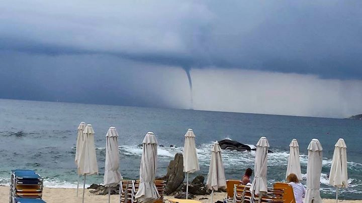
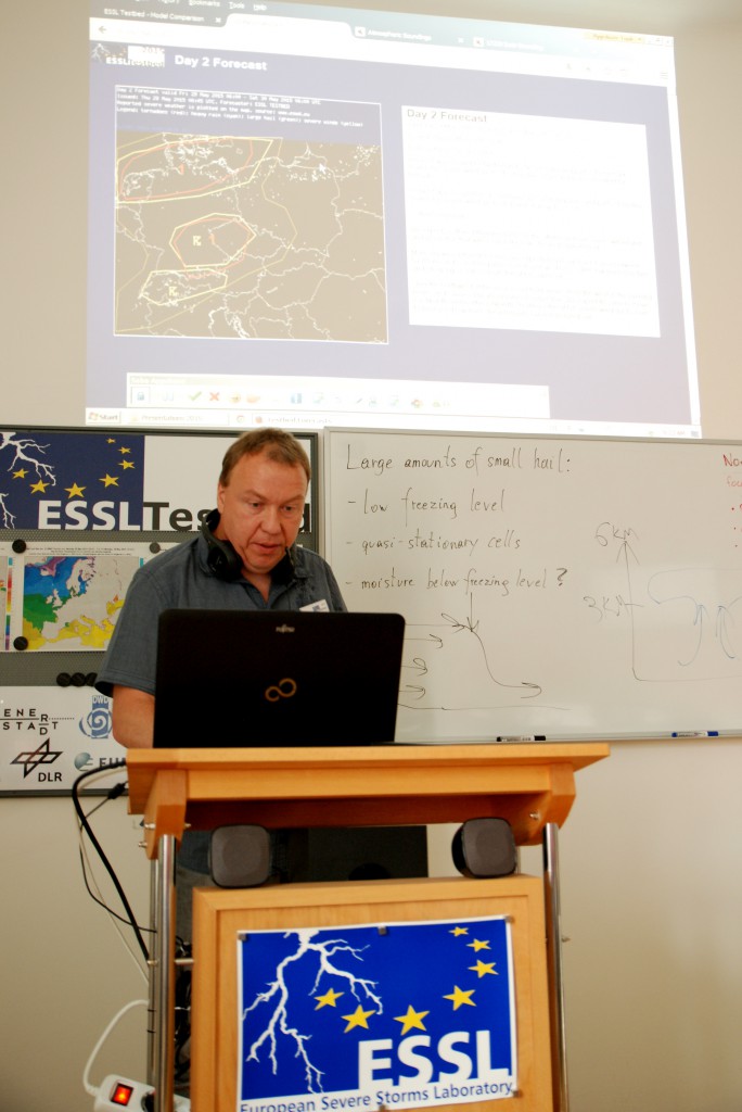
This day was opened by Mateusz Taszarek who started with the forecast verification. The main area of interest was SE Europe with the level 1 threat for E Greece, Aegean Sea , part of Turkey and Bulgaria, and level 2 for SW Turkey. As it turned out we successfully predicted thunderstorms producing large amounts of small hail in Greece and tornado over N Aegean Sea.
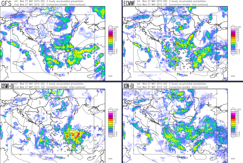
However, there were no thunderstorms over W and SW part of Turkey. This was a little suprise for us, because almost all models were consistent with producing convective initiation over this region. Also advection of potential vorticity, orographic lift, low-level convergence and good boundary layer moisture suggested good conditions for thunderstorm developement.
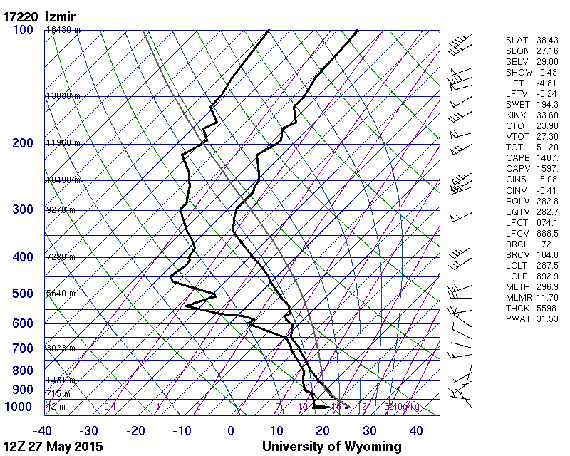
Even sounding from Izmir for 12UTC indicated nice CAPE and lack of convective inhibition:
… but in reality nothing happened there, and we could not find the reason why. Sometimes no matter how you try, the Mother Nature keeps her secrets to herself!
After the verification, our participants began to start with Day1 and Day2 forecasts. Afterwards, weather briefiengs on the teleconferencing session were presented by Maria Orawczak and Bernd Zeuschner.
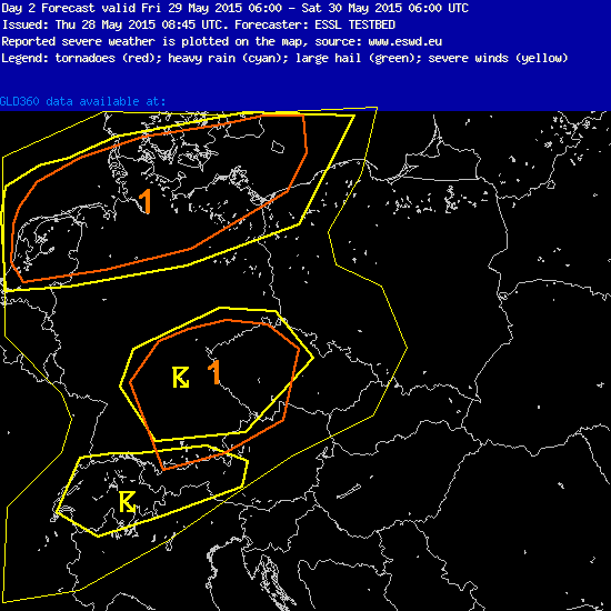
And this is a forecast for tomorrow. We expect some supercells over German – Czech Republic border and the line of storms passing eastwardly through N Germany in the late evening hours. Tomorrow in the evening we will see what happened.
The lecture of the day on the mesocyclone detection and radar products was given remotely by Thomas Hengstebeck (DWD). Our day ended with the testing radar products from DWD and testing the performance of COSMO-DE and COSMO Ensamble numerical models on the example of tornadoes in Germany on 5th and 13th May.

