
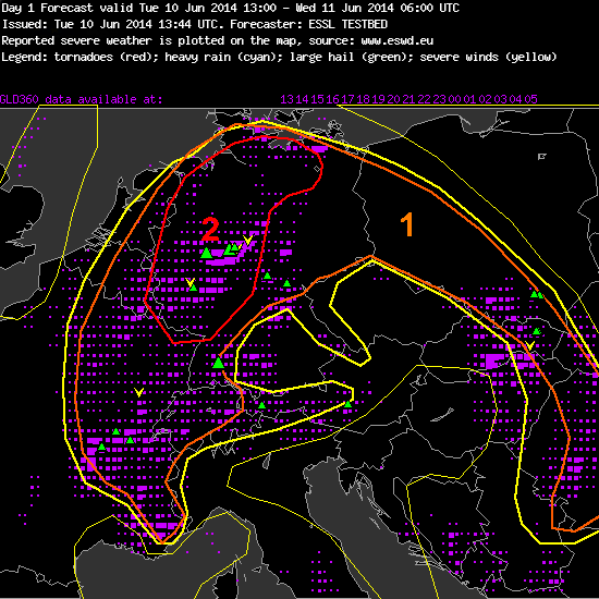
Today our participants had hands full of work. In the environment of high CAPE and low shear numerous intense thunderstorms have formed in central-european region.
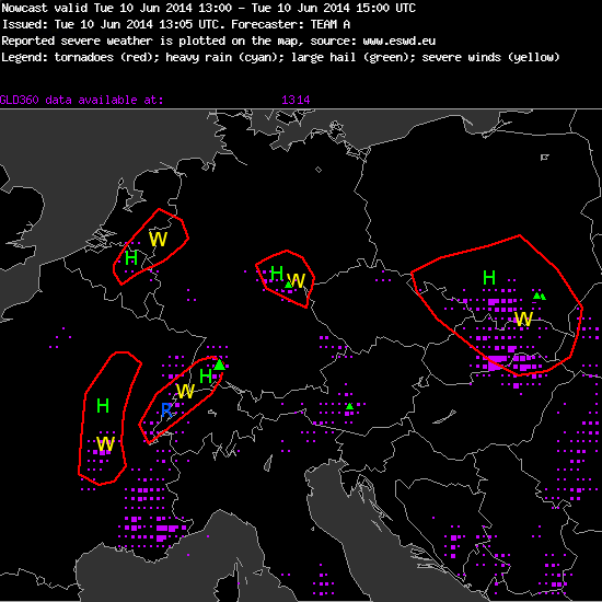
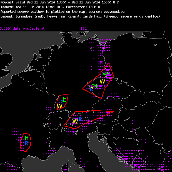
Even though situation was diffucult, with the use of available Testbed tools participants managed to make a quite good predictions. Let’s take a look at yesterday’s and today’s day1-forecast and nowcasts:
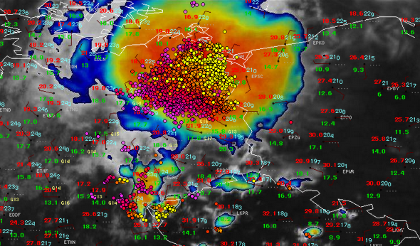
11.06.2014 12UTC Meteosat Sandwich, surface observations and lightning data
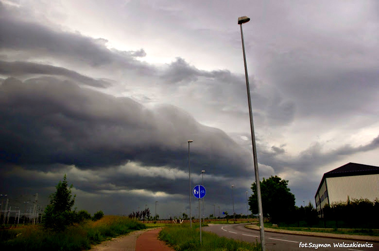
Today, after expert lecture held by Paul James on NowcastMIX product, participants began to monitor thunderstorm activity across Europe. Around 12UTC the most spectacular feature was MCS over NE Germany. Thanks to Szymon Walczakiewicz from Polish Stormchasing Society we were able to see shelf-cloud associated with this feature over Szczecin city:
In the late afternoon, isolated convective cells near German, Czech Republic and Polish border that grew in the environment of large CAPE (> 3000 J/kg) and low wind shear (< 10m/s) produced hail up to 5cm in diameter. Similiar as in situations from previous days, we found VIL track parameter as usefull tool in defining places where large hail is likely to occur. On the image below it can be seen that even though MCS from NE Germany was active, it did not show any potential to produce large hail.
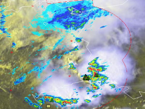
11.06.2014 Meteosat E-view, VIL track and ESWD large hail reports
